
GPS Map: Live Earth Camera 3D
Overview
• Transform the way you see the world with GPS Map: Live Earth Camera, an all-in-one navigation and exploration companion.
• This app bridges the gap between digital planning and real-world discovery, allowing you to traverse the globe from the palm of your hand.
• Whether you are uncovering hidden gems or simply navigating your daily commute, our immersive interface puts the world at your fingertips.
Your Gateway to the World
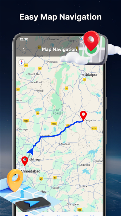
1. Immersive Exploration:
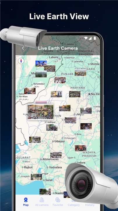
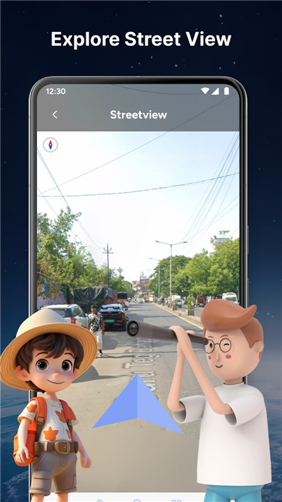
• Experience live earth views and high-fidelity street imagery that let you preview your destination before you even arrive.
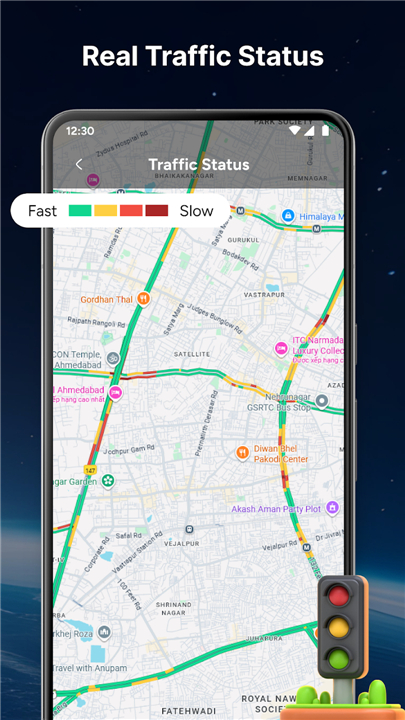
2. Precision Navigation:
• Seamlessly move through your city with intuitive GPS tools, real-time traffic updates, and smart routing designed to save you time.
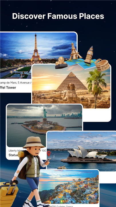
3. Global Discovery:
• Wander through the world’s most iconic landmarks and the Seven Wonders, or browse curated location categories to inspire your next adventure.
4. Essential Utilities:
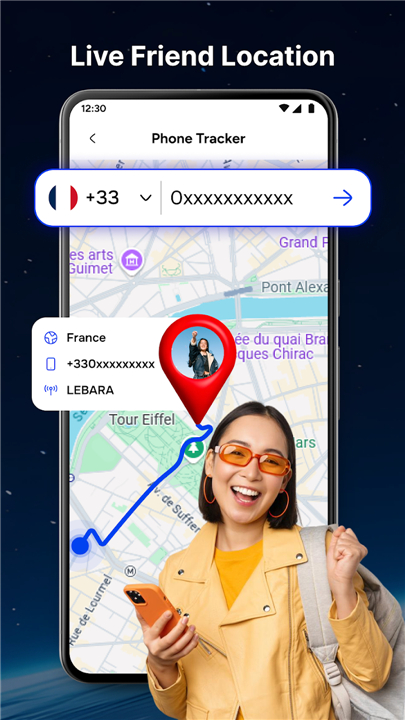
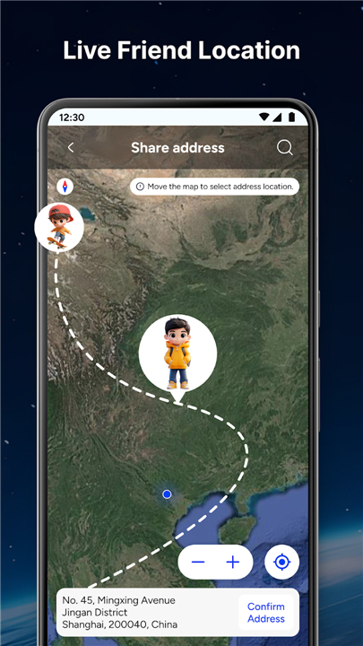
• Efficiently manage your travels with secure location-sharing, a built-in phone number lookup tool, and a personalized history to revisit your favorite spots.
Why Choose This Experience?
1. Unified Interface:
• A sleek 3D environment that combines sophisticated mapping with real-time visual insights.
2. Intuitive Design:
• Built for travelers and commuters alike, focusing on clarity, speed, and ease of use.
3. Reliable Utility:
• Designed to be your daily partner in navigation, from finding the quickest route to sharing a meeting point with friends.
Download GPS Map: Live Earth Camera today
• Turn every trip into an discovery.
• Elevate your journey and explore the map like never before.
• Your feedback helps us continue to improve—if this app inspires your travels, please leave us a review.
FAQ
Q: How does the live‑earth view differ from regular map pictures?
A: Instead of static tiles, the live‑earth view pulls the most recent satellite data and integrates up‑to‑date street‑level panoramas. This means you’ll see recent construction, temporary road closures, or new buildings the moment they become visible in the source feeds, giving a far more realistic sense of place before you travel.
Q: Is the 3‑D environment just for looks, or does it help with navigation?
A: The three‑dimensional rendering is both aesthetic and functional. By tilting, rotating, and zooming, you can grasp the shape of hills, the height of skyscrapers, and the layout of complex intersections. That visual depth often makes it easier to recognize landmarks on the ground, reducing the chance of a wrong turn.
Q: Do I need an internet connection to use the app?
A: A data connection is required for live satellite updates, traffic information, and on‑the‑fly street imagery. However, you can download map areas for offline use, and the core navigation engine will still guide you along pre‑saved routes even when you lose signal.
Version History
v1.0.0——6 May 2026
Explore street view with live satellite view, GPS map navigation & phone tracker Download the latest version of GPS Map: Live Earth Camera 3D to enjoy new features and updates immediately!
*1.0.0
Minor bug fixes and improvements. Install or update to the newest version to check it out!
- AppSize30.56M
- System Requirements5.0 and up
- Is there a feeFree(In game purchase items)
- AppLanguage English
- Package Namecom.phpkg.streetview.camerastreetview
- MD5
- PublisherPhuong Hong Phat Kien Giang
- Content RatingTeenDiverse Content Discretion Advised
- Privilege19
-
GPS Map: Live Earth Camera 3D 1.0.0Install
30.56M2026-07-01Updated


9.2
6000 Human Evaluation
- 5 Star
- 4 Star
- 3 Star
- 2 Star
- 1 Star